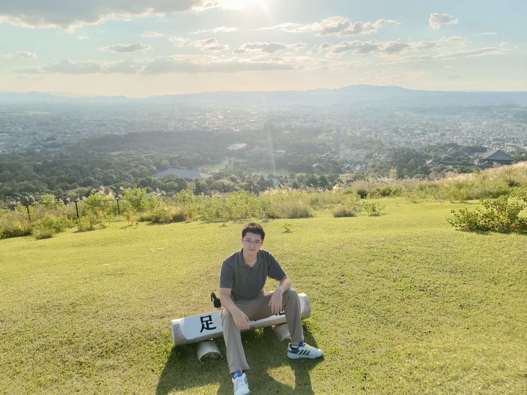
I am now working as a project researcher at Machine Learning and Statistical Data Analysis Lab, The University of Tokyo, supervised by Prof. Naoto Yokoya. I received my doctoral degree in Photogrammetry and Remote Sensing from Wuhan University in 2024, advised by Prof. Yanfei Zhong and Liangpei Zhang. I achieved my B.S. degree from the School of Geography and Information Engineering, China University of Geosciences (Wuhan), in 2019.
My research focuses on multi-modal remote sensing and computer vision, aiming to build intelligent systems for understanding Earth observation data. My work spans three core areas:
1) Vision-Language Multi-Modal Learning: I developed the EarthVQA series for visual question answering and comprehensive understanding (EarthVQA, EarthVQANet, EarthVL, etc).
2) Large-scale Dataset Construction: I created influential benchmark datasets for domain adaptive semantic segmentation (LoveDA, LoveCS), disaster response (DisasterM3) and long-term series urban understanding (DynamicVL).
3) AI4Earth Applications: Grounding AI techniques to AI4Earth problems is interesting and challenging. I proposed CityVLM for sustainable urban development and our damage assessment solution won 1st in 'AI for Earthquake Response Challenge'.
Recent News
Selected Publications
DisasterM3: A Remote Sensing Vision-Language Dataset for Disaster Damage Assessment and Response
Thirty-ninth Annual Conference on Neural Information Processing Systems (NeurIPS), 2025
DynamicVL: Benchmarking Multimodal Large Language Models for Dynamic City Understanding
Thirty-ninth Annual Conference on Neural Information Processing Systems (NeurIPS), 2025
CityVLM: Towards Sustainable Urban Development via Multi-view Coordinated Vision–language Model
ISPRS Journal of Photogrammetry and Remote Sensing (ISPRS), 2026
EarthVQANet: Multi-task visual question answering for remote sensing image understanding
ISPRS Journal of Photogrammetry and Remote Sensing (ISPRS P&RS), 2024
LoveNAS: Towards Multi-Scene Land-Cover Mapping via Hierarchical Searching Adaptive Network
ISPRS Journal of Photogrammetry and Remote Sensing (ISPRS P&RS), 2024
EarthVQA: Towards Queryable Earth via Relational Reasoning-based Remote Sensing Visual Question Answering
The 38th Annual AAAI Conference on Artificial Intelligence (AAAI), 2024
Cross-sensor domain adaptation for high spatial resolution urban land-cover mapping: From airborne to spaceborne imagery
(ESI highly cited paper)
Remote Sensing of Environment (RSE), 2022
LoveDA: A Remote Sensing Land-Cover Dataset for Domain Adaptive Semantic Segmentation
Advances in Neural Information Processing Systems (NeurIPS), 2021
FactSeg: Foreground Activation Driven Small Object Semantic Segmentation in Large-Scale Remote Sensing Imagery
(ESI highly cited paper)
IEEE Transactions on Geoscience and Remote Sensing (TGRS), 2022
RSNet: The Search for Remote Sensing Deep Neural Networks in Recognition Tasks
(ESI highly cited paper)
IEEE Transactions on Geoscience and Remote Sensing (TGRS), 2021
Funding
[2025.04.01-2029.03.31]
Co-I, Grant-in-Aid for Scientific Research (B), 基盤研究(B), 25K03145
Robust Geospatial Foundation Models: Innovative Techniques and Comprehensive Benchmarks
Award
[2025.6-2025.10]
2025 AI for Earthquake Response Challenge funded by ESA Φ-lab, Disasters Charter, and IEEE ESI TC
1st Place (1/261)
[2022.4-2022.6]
2022 IJCAI LandSlide4Sense CDCEO workshop Challenge
1st Place
[2022.2-2022.3]
2022 Ali Tianchi Real World Image Forgery Localization Challenge
1st Place (1/1149)
[2020.10-2020.12]
2021 IEEE GRSS Data Fusion Contest, Track: Multitemporal Semantic Change Detection
4th Place
[2020.03-2020.05]
SpaceNet 6 EarthVision workshop challenge at CVPR 2020
Top Graduate Award (__EVER__)
[2019.10-2019.12]
2019 IEEE GRSS Data Fusion Contest, Single-view Semantic 3D Challenge
2nd Place (2/400+)